
01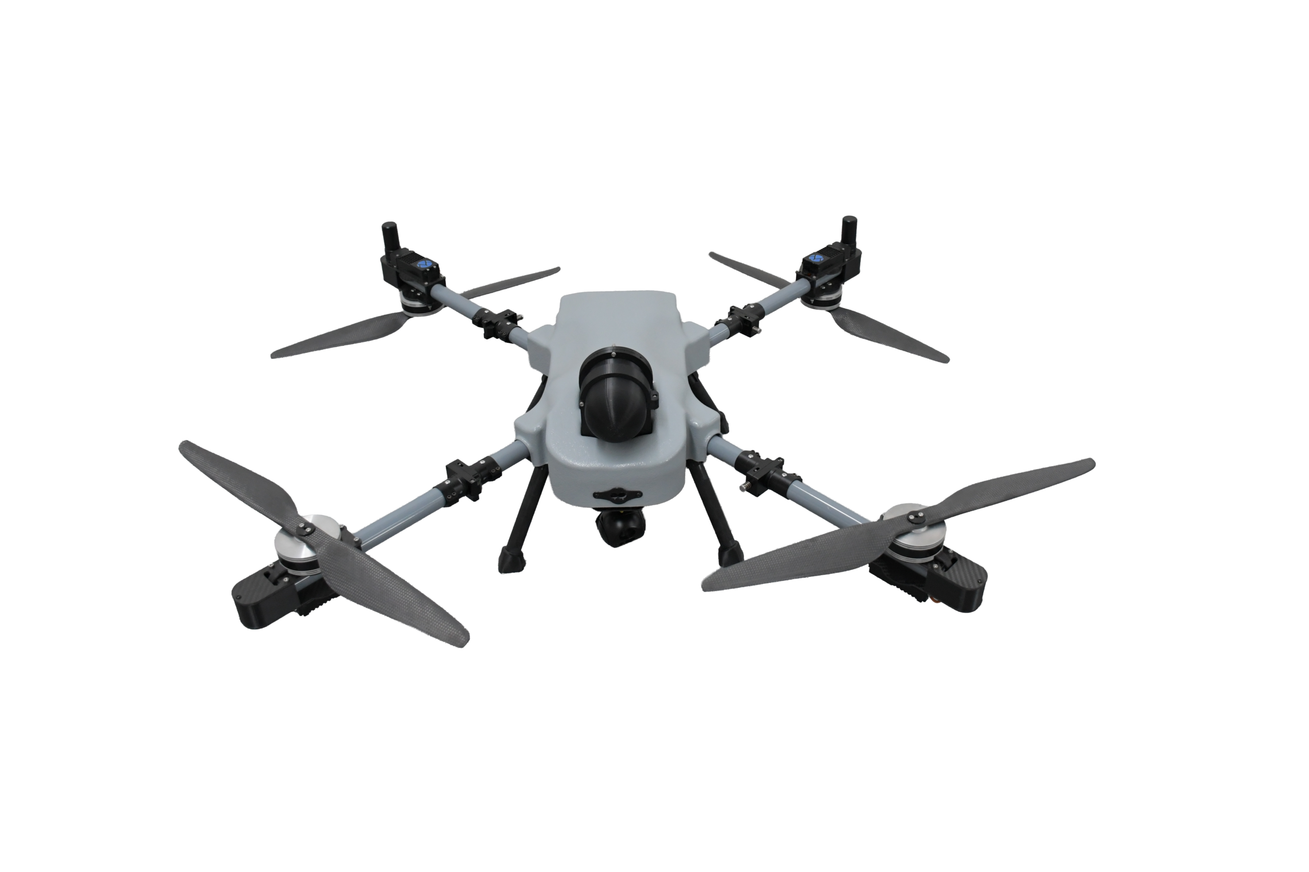 BMS OFFICIAL PHOTO
Discover Technolt's unmanned platforms and aerial capabilities for mapping, inspection, monitoring and specialist applications.
 AERIAL SYSTEMS / TECHNOLT
Technolt's aerial portfolio supports mapping, inspection, monitoring and specialist field operations across a wide range of project environments.
Advanced UAV engineering, connected with local distribution and customer support.
BMS Defence designs and manufactures unmanned aerial platforms, supported by its expertise in UAV engineering, avionics integration and mission-focused systems.
Through this partnership, Technolt serves as the distribution and customer coordination partner for selected BMS Defence UAV solutions.
Together, the companies connect BMS Defence's platform capabilities with Technolt's regional market presence, helping customers explore suitable systems, discuss project requirements and coordinate product enquiries.
For platform availability, configurations or a project discussion, contact the Technolt team.
BMS Defence Website
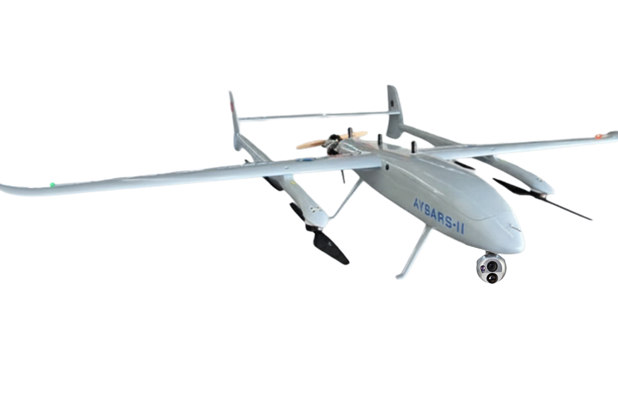
Browse seven BMS Defence UAV models with verified official product photographs. Every drone image is bundled locally with this website.
BMS OFFICIAL PHOTO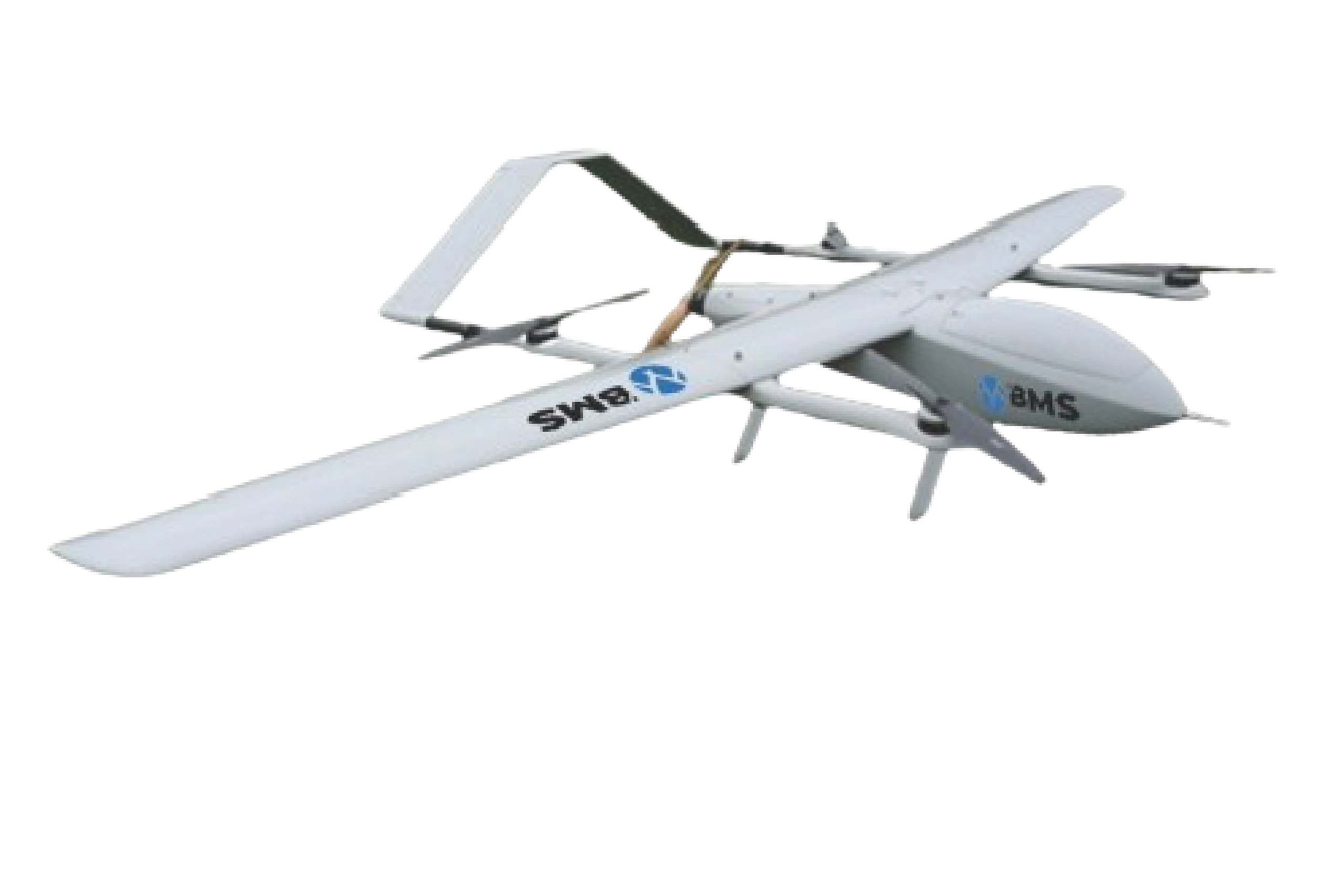 BMS OFFICIAL PHOTO
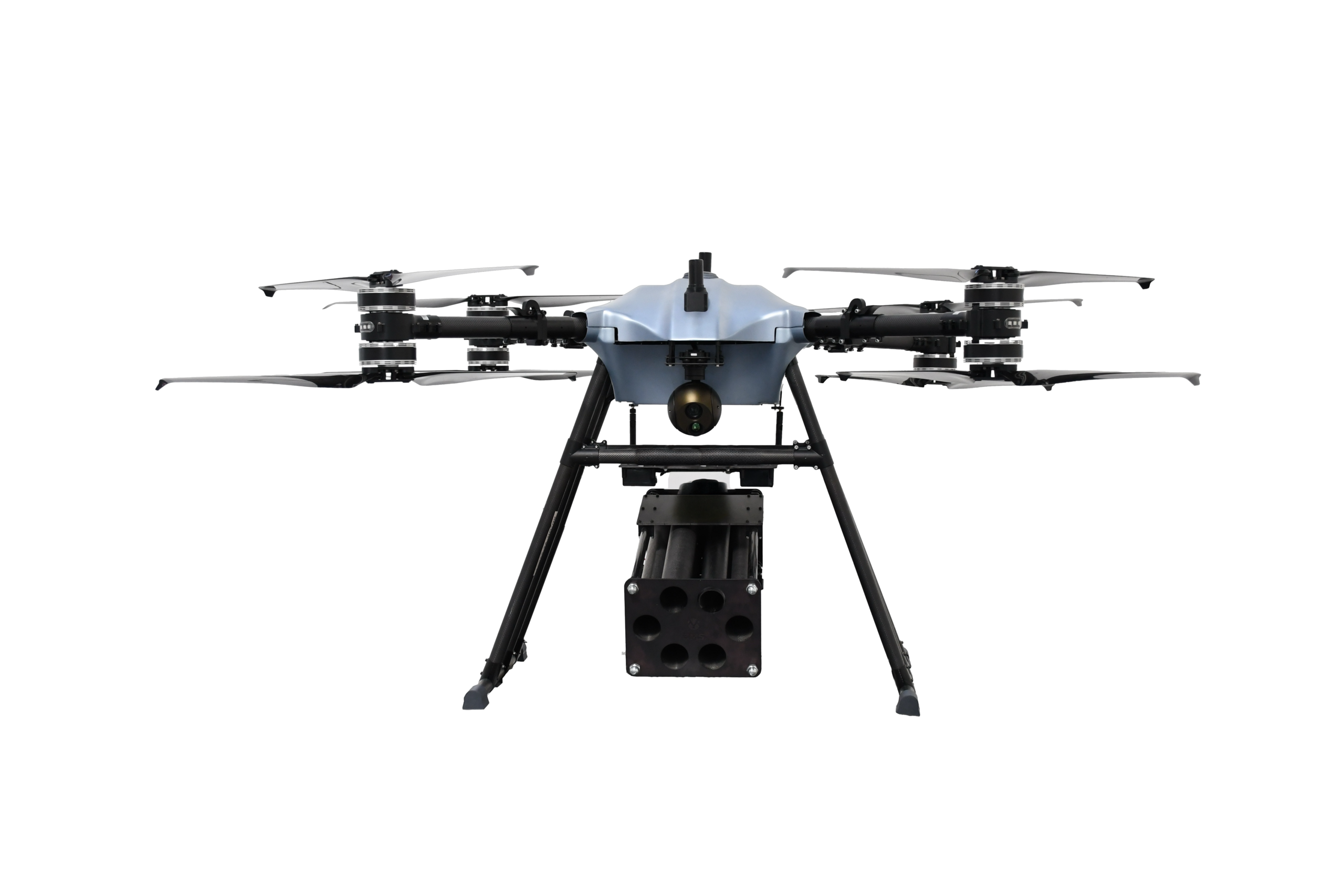 BMS OFFICIAL PHOTO
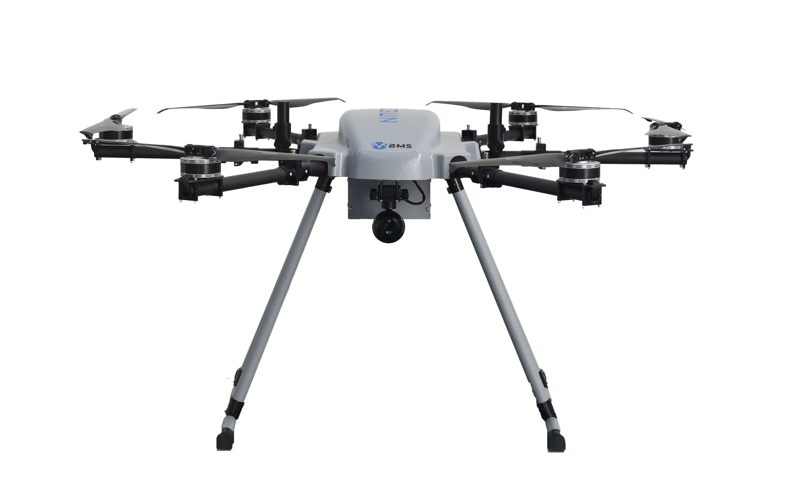 BMS OFFICIAL PHOTOBMS OFFICIAL PHOTO
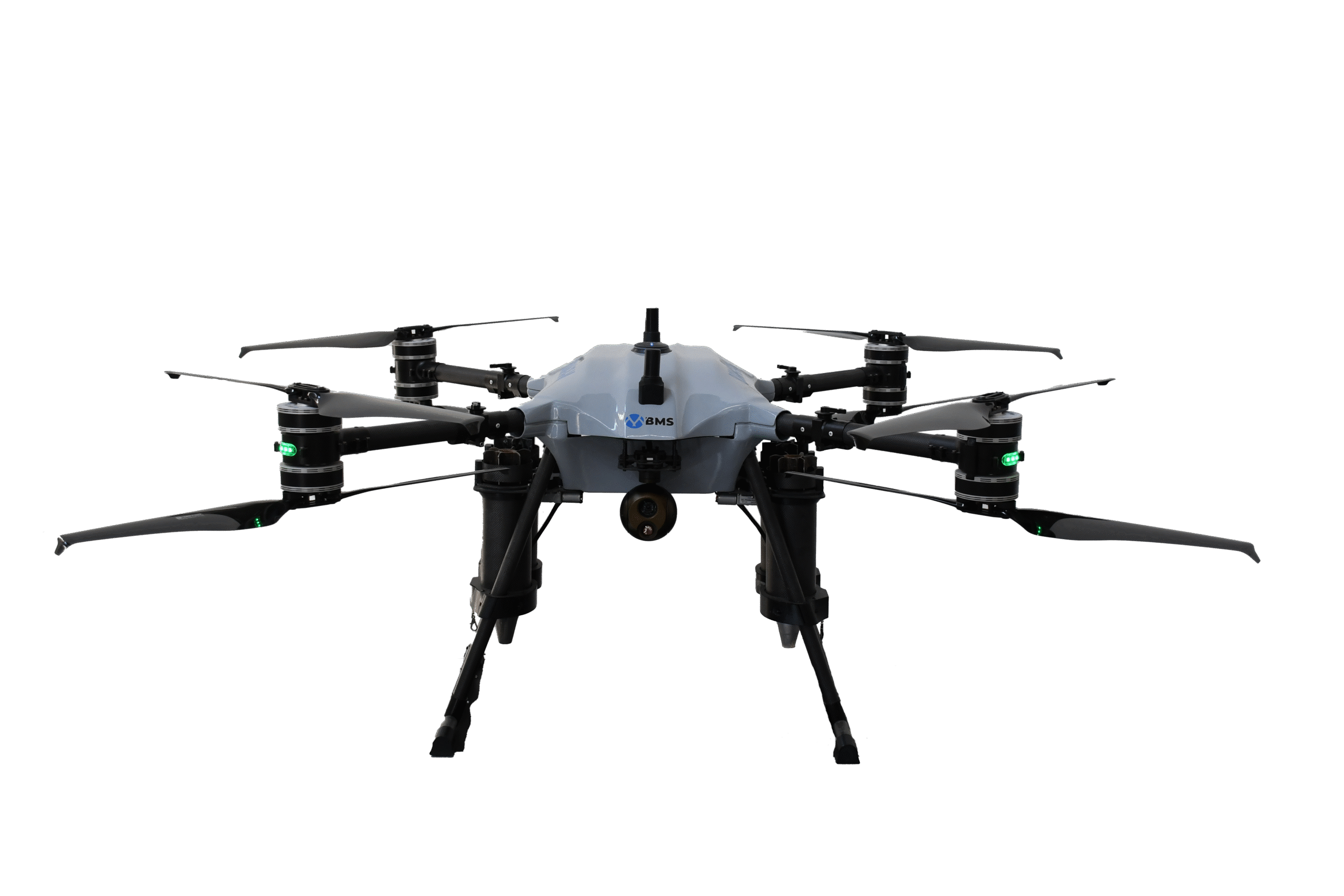 BMS OFFICIAL PHOTO
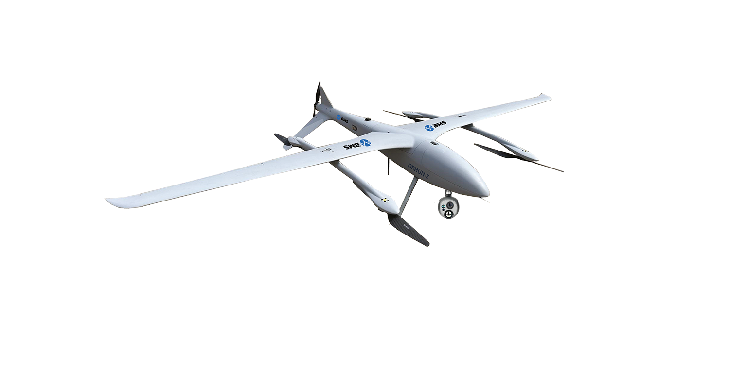 BMS OFFICIAL PHOTO
These service areas are drawn from Technolt's current published services list. Select an area to discuss project suitability and scope.
Aerial visual assessment of buildings and hard-to-reach structures.
Aerial roof survey support for commercial properties.
Aerial roof inspection support for residential properties.
High-resolution aerial data for mapping and 2D/3D outputs.
Thermal imaging surveys for suitable inspection applications.
Aerial views to support construction progress reviews.
Aerial inspection support for solar installations.
Aerial survey support for stockpile measurement and review.
Aerial data collection for civil engineering projects.
Aerial visual checks to support property maintenance.
Aerial survey data for topographical assessment.
Processing of aerial survey data into point-cloud outputs.
Counter-UAS protection system offering.
Drone delivery solutions for remote-area applications.
Aerial monitoring support for border-security operations.
Aerial monitoring support for maritime and coastal operations.
Aerial reconnaissance solutions for authorised applications.
Aerial data support for landslide-area assessment.
Talk to Technolt about drone platforms, aerial data capture or specialist services.